
The development of shooting at Bereleigh
Bill Tyrwhitt Drake gave a talk on the development of shooting at Bereleigh in April 2020.
Link to the audio and transcript is here
Bill Tyrwhitt Drake gave a talk on the development of shooting at Bereleigh in April 2020.
Link to the audio and transcript is here
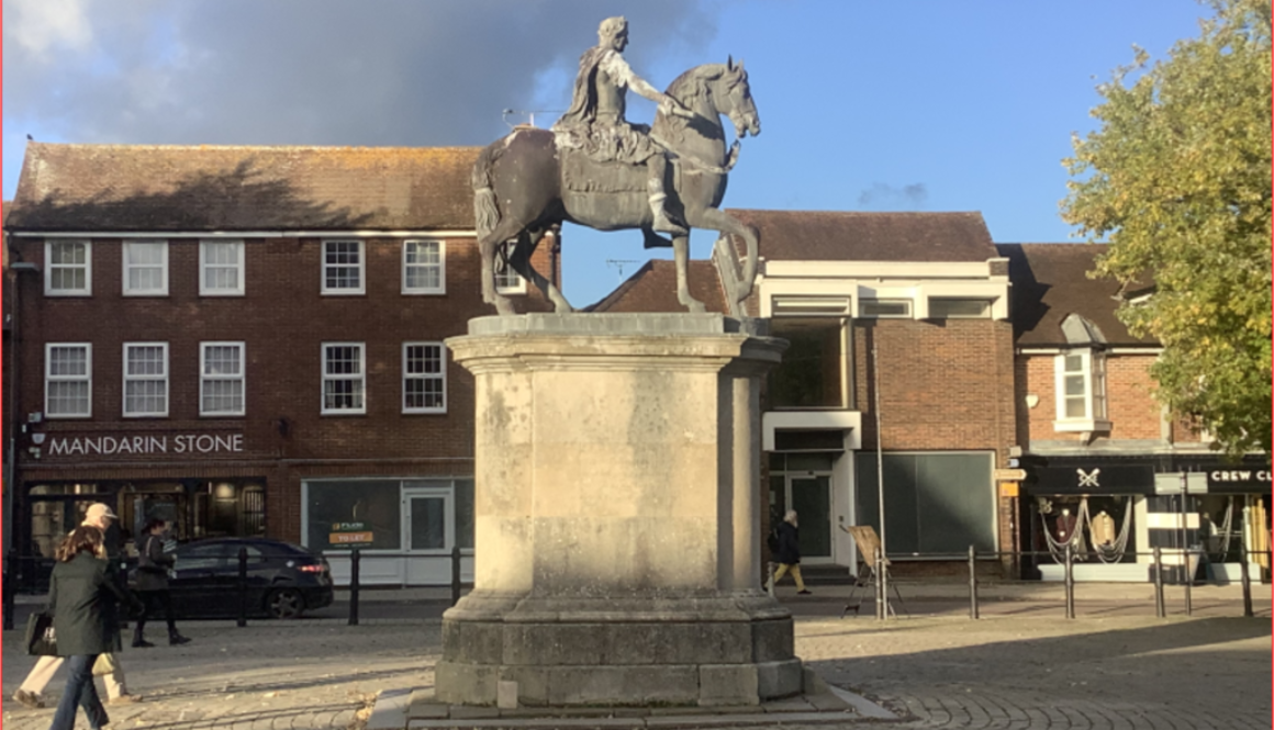
Local historian David Jeffery gave us a talk in December 2023 on the William 111 statue in Petersfield Market and its place in history. Links to a transcript of his talk and slides are below:
Open or Download PDF in new window (163KB)
Open or Download PDF in new window (3.9MB)

For over 1,000 years, the church was at the heart of the community of East Meon. Michael talks about the history of the building and its role in village life.
Two part video below.
Between September and May each year the Group organises talks on topics (usually) relating to local history and visits to sites of historical interest. Some of these are remembered in this section. Talks usually take place in East Meon Village Hall at 7.30pm on the third Monday of the month. Some are given by guest speakers, usually historians, and others by members of East Meon History Group who have been researching a local history topic.
Members of the Group attend free of charge, non-members are welcome but are invited to pay £5.00 at the door.


The East Meon History Group would like to thank Peter Garner for giving a fascinating talk in the Village Hall on 17th February. The talk centred on the roles played by a so called ‘gang’ of five individuals in the English Civil War . John Hampden, William Lenthall , Arthur Goodwin, Simon Mayne and Sir Richard Ingoldsby had two things in common from which Peter’s description of them as a ‘gang’ derives. They supported and mostly bore arms for Parliament against their King and were pupils at the same school. Interestingly they were also lawyers.
Open or Download PDF in new window (31KB)
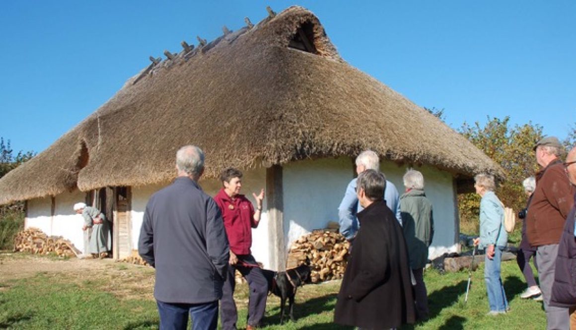
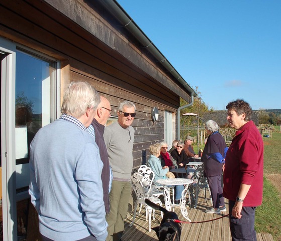
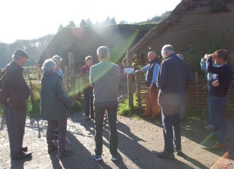

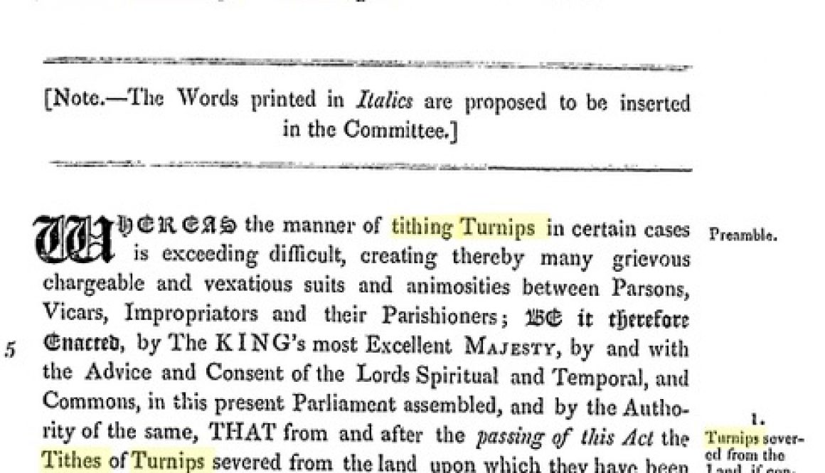

This illustrated talk, given in 2015 by George Bartlett, deals with the 1833 law case about tithes between the Vicar of East Meon and the Squire of Bereleigh and the subsequent Parliamentary proceedings which resulted in an Act that reversed the effect of the judgment. It introduces the principal characters involved, explains the ancient system of tithes, then facing reform, and it sets the dispute in the national and local context of the time.
Please click on the link below for access to a full writeup of the talk.
Kemp v Pechell for website reduced


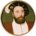

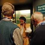
It was good of the Royal Navy to arrange what our organizer, Tony Norman, called an ‘oompah band’ to greet our arrival at the Naval Dockyard – the crew of RFA Argus were being awarded medals by the Duchess of Cornwall and the Royal Marine Band played, predictably, ‘Hearts of Oak’, as they and the Royal Naval guard of honour marched in glorious sunshine.
The Museum is a stunning building, both its exterior and the internal layout of the Mary Rose and its contents. It was designated ‘Museum of the Year in 2014’. An introductory talk in the Learning Centre, by the Museum’s munitions expert Alexandra Hildred, described the sinking of the Mary Rose on July 24th 1548, in the face of a French fleet bent on invading England, and in sight of King Henry VIII. She set out the possible reasons for the heavily-armed ship listing and sinking, with the loss of around 500 men, including Vice Admiral George Carew.
A gust of wind may have caught the sails during an alteration of course.
Archers and sailors on the top deck might have unbalanced her.
The recent addition of heavy guns might have caused the ship to heel over.
The gun ports on the lower deck were not closed, which would have allowed water to rush in, speeding up the tilting of the ship.
French gunfire the evening before might have damaged her. (A French witness took credit, but there is no trace of damage in the portion of the ship which has survived.)
Communication by the Captain might have failed. A contemporary witness described the crew as ‘the sort of knaves he could not rule’. Some of the skeletons carried traces of Mediterranean diet, suggesting they may have been foreign prisoners.
Or a combination of some of these factors … It is one of the great historical detective stories. Alex took us through the remarkable feat of excavating the Mary Rose on the seabed, then the raising of the skeleton of the ship in 1982, since when she has been preserved first in a makeshift building designed to preserve the timbers, now in a custom-built facility which not only houses the substantial carcass but also its 19,000 artefacts which between them offer a priceless insight into life on board in the sixteenth century.
After Alex’s talk, the group was guided around the museum; each deck is matched with exhibits of the activities which would have taken place in that part of the ship. Halls at each end of the walkways held display cases both of specific discoveries from the Mary Rose, and more general aspects of life on the ship.
The conservation taking place ranges from the recreation of the cannons (and firing them to estimate their range and penetration) to analysis of the human remains and social history of the sailors, their food (and its cooking), medicine, entertainment (games and musical instruments), commerce (a money-exchanger on board) … as well as navigation and archery.
The Museum will close for around six months in December, when the timbers will have dried out sufficiently to allow the ventilation ducting to be removed, and the viewing galleries will be opened up to allow better visibility. Most EMHG members intend to visit the Mary Rose again; one visit is not enough.
In January 2014, George Bartlett gave members a talk on the derivation of the name of East Meon.
Those born and bred in East Meon and longstanding residents find it odd when they hear the name of their village pronounced so as to rhyme with “neon”; while others, seeing an “o” in the word cannot imagine why it should not be pronounced in this way, instead of rhyming it, as the locals do, with “Ian”. The following short history of the name and its spelling may help to clear up this little local difficulty.
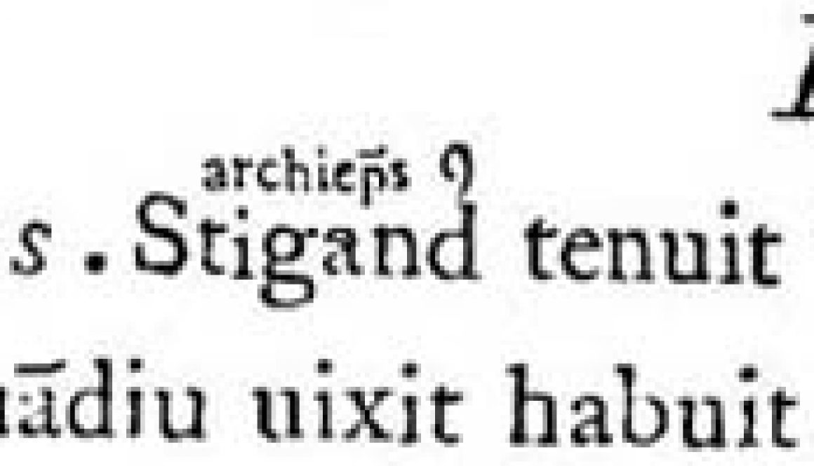
The derivation of “Meon”, the river that rises at South Farm and, 23 miles later, enters the sea at the foot of the Southampton Water, is lost in the mists of time, but it appears possible that the name shares a common ancestry with the river Main in Germany (see Coates, The Place-Names of Hampshire (1989)). The river valley is popularly supposed to have been inhabited in the dark ages by the “Meonwara”, who, so spelt, sound like warriors on the march. The derivation is from the Venerable Bede, who, in 731 completed his Ecclesiastical History of England. He referred (in Latin) to meanuarorum provincia, the province of the Meanwari, or dwellers about the Mean. So it might be more appropriate to refer to those early inhabitants as the old Meanwarians, although this might perhaps sound too much like a cricket club.
The Domesday book of 1086 called East Meon both “Mene” and “Menes” (and Meonstoke was referred to as “Menestoch” and “Menestoche”). It is the spelling “Menes” that appears consistently in the medieval Pipe Rolls, which contain the manorial accounts of the Bishops of Winchester. East Meon was a manor of the Bishops from before the Conquest, although it was then divided into Menes and the smaller manor of Menes Ecclesia (or East Meon Church). The first Pipe Roll is that of 1208-9 and the last is that of 1461-2. Although elsewhere there are occasional insertions of a “u” or an “o” in the word, it is “Menes” that appears to predominate throughout the Middle Ages. There is no apparent reason for the “s” at the end, but its use persisted.
It may well be that the “e” after the “n”, in those early days before spelling conventions became established, was intended to indicate a second syllable on the “n” itself. Thus Chaucer in his Canterbury Tales, written between 1386 and 1389, spells blossom “blosme”. Another attempt to indicate a second syllable is found in the alternative spelling “Mean”, which appears for instance in Saxton’s 1575 map of Hampshire, and the “ean” form was indeed in the ascendancy for some time.
But “Mene” and “Mean” look like single syllable words. The use of an “o” to represent what linguists call an obscure vowel – one that is scarcely pronounced – appears to have gained currency in the 16th century. Thus Chaucer’s “blosme” became for Shakespeare 200 years later “blossome”, the word “common” assumed its present spelling (displacing “comun”, “comoun”, “comyn” and other versions) and what had appeared in Chaucer as “leoun” became “lion”. So the insertion of an “o” rather than an “a” in Mene to indicate a second, but almost vowel-less, syllable would have seemed an appropriate thing to do for those preparing legal and other documents.
It took quite some time, however, for the “o” version to become established and for long the “ean” version predominated. On 27 March 1644, two days before the Civil War battle of Cheriton, the regiments of Sir William Waller’s Parliamentary army mustered at East Meon. One soldier’s contemporaneous account refers to “East Meane”, another to “Eastmean”. In the Parish Register (the church’s manuscript record of christenings, marriages and burials) “Anno 1645” is headed “East=Meone”, but the “o” appears to have been altered to (or from) an “a”. Consistency in spelling was in any event of no importance. Thus a single entry in the marriages for 1656 has no fewer than three versions: “Eastmeon”, “East Mean” and “Eastmean”.
The “o” version appears to have increased in use in the 17th century. But map makers were slow to adopt the convention and “Meane” and “Mean” appear throughout the 17th and 18th centuries until Harrison in his 1788 map of Hampshire used “Meon”. After that the “o” seems to have been universally used.
Until well into the 20th century, however, there was competition between the alternatives of “East Meon” and “Eastmeon”. The latter was, for instance, preferred in the page headings in all the censuses up to 1901, with the exception of that of 1891, and it was the official spelling for the name of the civil parish. The single-word form may well have reflected a spoken emphasis on the first syllable (as in Eastbourne). The two-word form has, however, prevailed.
So those seeing the “o” in East Meon should not be deceived. It has never been more than an obscure vowel (as in the second syllable of blossom and common and lion – and, indeed, London), and the gentle sound that it gives to the name is the one, we can be sure, that has prevailed through the centuries.
George Bartlett
These are notes taken from Nick’s talk, with some images from the presentation he made. This talk was intended as the launch of East Meon’s participation in the Saxons in the Meon Valley project. For more information about this project, funded by the Heritage Lottery Fund, South Downs National Park and others, click here.
Dr Nick Stoodley , Research Fellow at Winchester University, is the lead archaeologist on the project entitled ‘Saxons in the Meon Valley’. This was initiated by the Friends of Corhampton Church, of which Guy Liardet is the chair Peter O’Sullivan is the project co-ordinator.
The project is funded by a Heritage Lottery Fund grant and another from the South Downs National Park. Authority, which has enabled three surveys to be conducted in the ‘core’ territory of Corhampton, Meonstoke and Droxford. Hampshire County Council and Winchester District Councils have also subscribed.
This is a ‘community’ project, hoping to involve all towns and villages along the Meon river. Activities include a website, http://www.saxonsinthemeonvalley.org.uk, school involvement, re-creations of food and gardens, a collaborative tapestry and music.
The focus is on the first part of the Saxon era, 410 – 850AD.
For the record of the Geophysical Survey conducted in East Meon in September 2014, click here.
Roman Britain becomes Saxon
Most lived in settlements
Cultural identity – Jutes or Saxons
In the last years of Roman Britain there were both towns and villages. Manufacture was thriving, many could read and write. Christianity was common.

The Romans left c410. Soon after, tribes began to arrive from north-east Europe. According to Bede, writing in the 8th century:
• East Anglia, the Midlands and the North East were settled by Angles from Northern Germany (Schleswig Holstein).
• Southern England wassettled by Saxons from the north German plain
• Kent, the Isle of Wight and the part of Hampshire opposite the IoW were occupied by Jutes, from Jutland in Denmark.

The early Anglo-Saxon era, 5th – 7th centuries, has been called the Dark Ages. There are very few reliable sources, and archaeology is the main source of knowledge.

(Some of the dead were cremated, and their ashes kept in pots, but very little evidence of these in the Meon Valley.)


With additional evidence from metal detectors, the Meon Valley appears to have been heavily settled in early A/S times.
Bede mentions the Meonwara, the tribe which gave its name to the Meon Valley, and says the wider area was Jutish; we assume, therefore, that the Meonware shared the same tribal identity.
The project is based on community involvement. Members are invited to learn the methods used in non-invasive archaeology and then work to discover remains.
Two types of site:
1. Community surveys
2. Expert sites (kept very secret, because of danger of unauthorised metal detectors (‘nighthawks’) who steal remains.
No excavation is involved. Three main means of non-invasive surveying:
1. Geophysics
2. Metal detecting
3. Field walking


Shavards Farm, on the A32, was a late 4th century Roman building; its front collapsed and lay on the ground – it was possible to recreate its elevation from this evidence (see above). The excavation also revealed some post-holes of early Anglo-Saxon date and a sunken-featured building whose floor was below soil level and its roof structure above.


NS showed magnetometer scans, which measure variations in the earth’s magnetic field. Magnetometry is based on the measurement of differences in the earth’s magnetic field. Variations in the earth’s magnetic field which are associated with archaeological features can be detected, such as brick walls, hearths, kilns and disturbed building material, as well as more ephemeral changes in soil, allowing for the location of foundation trenches, pits and ditches.
AS settlement features in relation to Roman site and field boundaries suggest that the fields were still being used. Dating of settlement to 5C supports this. Indicates old Roman landscape important in the establishment of settlements in eAS period.

Resistivity survey is based on the principle that sub-surface materials conduct an electrical current passed through them: differences in the structural and chemical make-up of soils mean that there are varying degrees of resistance to an electrical current.
In general, higher resistance features are interpreted as structures which have a limited moisture content, for example walls, mounds, voids, rubble filled pits, and paved or cobbled areas. Lower resistance anomalies usually represent buried ditches, foundation trenches, pits and gullies.

During the middle Saxon period people migrated into settlements and the process of ‘nucleation’ began.

Each settlement would include a Saxon Hall House (Grubenhauser). It is hard to identify settlements not least because no rubbish was left. Survey of Shavards Farm shows evidence of one.
Fieldwalking picks up artefactual evidence. Settlements don’t produce much debris to pick up when fieldwalking – compared to villas with their stone walling and lots of pottery and coins. Pottery was used but it is poor quality and breaks up in the plough soil, so a handful of early Anglo Saxon pottery is considered a reliable indicator of a settlement.
Ground disturbed by ploughing often throws up evidence – and a tendency towards deeper ploughing throws up fresh materials (diagram below).


Archaeologists are suspicious of metal detecting because of nighthawks – who illegally detect on sites and sell their finds for profit, e.g. via eBay, Winchester University has contacts with a number of trusted and expert metal detectors who have been very helpful.
Discovering a cemetery establishes the probability that a settlement was nearby. Men were often buried with weapons, women with jewellery. In 2012, the development of a housing estate to the north of West Meon revealed a sizeable Saxon cemetery. It can be inferred that there was a settlement nearby, probably where the centre of today’s village is located. (Roman and Saxon remains at Lippen Wood and Westbury House suggest other settlements in the Wast Meon area.: Click here for a report on this excavation.)

The sources of rivers are promising territory for discovering settlements. Evidence from South and Lower Farms, by the source of the Meon, already suggests that Saxons lived there. ‘Ytedene’ (valley of the Jutes) was near East Meon.

The question remains, was the Meon Valley Jutish or Saxon? Many Saxon artefacts have been discovered – quoit brooches and saucer and disc brooches which suggest a Saxon identity but research by NS on dress styles suggests that a different costume in S Hants (inc Meon Valley) may differentiate those expressing a Jutish cultural identity for the surrounding Saxons.


Resistivity survey is based on the principle that sub-surface materials conduct an electrical current passed through them: differences in the structural and chemical make-up of soils mean that there are varying degrees of resistance to an electrical current.
In general, higher resistance features are interpreted as structures which have a limited moisture content, for example walls, mounds, voids, rubble filled pits, and paved or cobbled areas. Lower resistance anomalies usually represent buried ditches, foundation trenches, pits and gullies.
During the middle Saxon period people migrated into settlements and the process of ‘nucleation’ began.
Each settlement would include a Saxon Hall House (Grubenhauser). It is hard to identify settlements not least because no rubbish was left. Survey of Shavards Farm shows evidence of one.
Fieldwalking picks up artefactual evidence. Settlements don’t produce much debris to pick up when fieldwalking – compared to villas with their stone walling and lots of pottery and coins. Pottery was used but it is poor quality and breaks up in the plough soil, so a handful of early Anglo Saxon pottery is considered a reliable indicator of a settlement.
Ground disturbed by ploughing often throws up evidence – and a tendency towards deeper ploughing throws up fresh materials (diagram below).